World Vintage Map Posters
Antique Maps
A fabulous collection of rare vintage maps
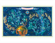
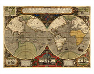
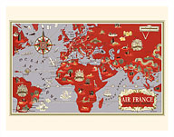
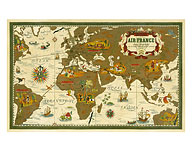
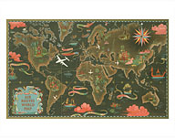
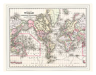
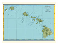
Vintage world maps from early 1500’s through mid 1900’s. Historical maps, many Hawaii maps, a map of Captin Cook’s world exploration route, many vintage aviation maps, classic airline company route maps and even several celestial zodiac maps.
We hope you enjoy and appreciate these rare old vintage maps. A great deal of work is involved in locating the original map, creating digital copies that are carefully restored to their original beauty and brilliance.
Classic Vintage Posters always uses only the very best in printing technology, Fine Art Giclee Prints as well as Master Art Printing; the very best Archival Quality, Pigmented Inks guaranteed for 75 years; only the highest quality Premium Heavyweight Paper Stock and Superior Quality Cotton Canvas. This guarantees the final product, which we offer in a range of sizes, is the very highest quality printed map reproduction available.
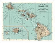
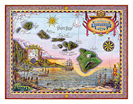
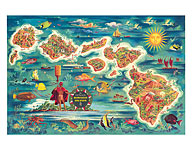
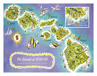
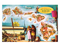
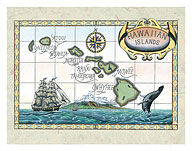
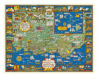
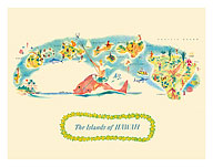
Map of the Islands of Hawaii, USA - "The loveliest islands"
Dessiaume
24 options available$12.98 - $199.98
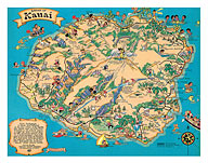
Hawaiian Island of Kauai Map - Vintage Colored Cartographic Map by Hawaii Tourist Bureau
Ruth Taylor White
24 options available$12.98 - $199.98
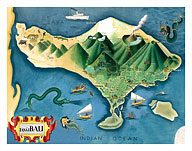
Map of Bali, Indonesia - Tanáh (Tanah) Lot Balinese Temple
Miguel Covarrubias
24 options available$12.98 - $199.98
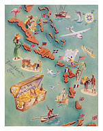
Map of Caribbean Islands - Bahama Islands - U.S. Virgin Islands - Menu Cover
Vintage Menu Cover
24 options available$12.98 - $199.98
Indochine Française - French Indochina Vintage Map - Vietnam, Cambodia, Laos
Lucien Boucher
24 options available$12.98 - $199.98
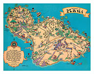
Hawaiian Island Of Maui - Vintage Colored Cartographic Map by Hawaii Tourist Bureau
Ruth Taylor White
24 options available$12.98 - $199.98
Map of the Polynesian Islands - Don the Beachcomber Tiki Bar and Restaurant
Vintage Travel Poster
24 options available$12.98 - $199.98
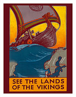
See the Land of the Vikings - Map of Scandinavia - Viking Ship
Ben Blessum
24 options available$12.98 - $199.98
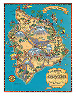
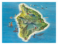
Hawaiian Island of Hawaii (Big Island) Map - Vintage Colored Cartographic Map by Hawaii Tourist Bureau
Ruth Taylor White
24 options available$12.98 - $199.98
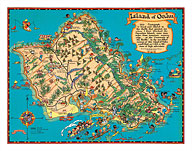
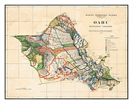
Oahu - Hawaiian Islands - Hawaii Territory Survey Map
John M. Donn
24 options available$12.98 - $199.98
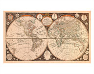
A New Map of the World - with all the New Discoveries
Thomas Kitchen
24 options available$12.98 - $199.98
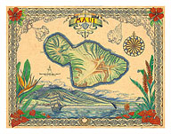
Vintage Style Map of the Island of Maui, Hawaii
Steve Strickland
24 options available$12.98 - $199.98
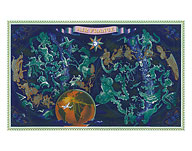
Aviation Sky Map, Star Constellations and Zodiac
Lucien Boucher
24 options available$12.98 - $199.98
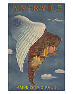
Aviation - Amerique du Sud (South America) - Lockheed Constellation flys to Rio de Janeiro in Brazil and Buenos Aires in Argentina
Lucien Boucher
24 options available$12.98 - $199.98
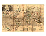
The Whole World Map - Britain's Possessions in North America
Herman Moll
24 options available$12.98 - $199.98
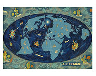
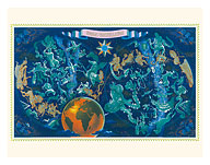
Sky World Map - Constellation Zodiac - Planisphere
Lucien Boucher
24 options available$12.98 - $199.98
World Expeditions Map - Vera Totius Expeditionis Nauticæ, with Routes of Sir Francis Drake and Thomas Cavendish
Jodocus Hondius
24 options available$12.98 - $199.98
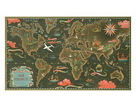
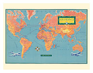
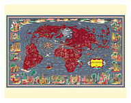
Planisphere World Flight Route Map - Réseau Aérien Mondial
Lucien Boucher
24 options available$12.98 - $199.98
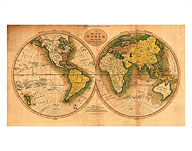
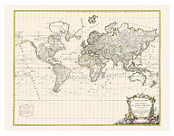
Map of the World - On the Mercator Projection - Exhibiting the American Continent at its Center
Vintage Map
24 options available$12.98 - $199.98
World Flight Routes Map - Aviation Around the World
Lucien Boucher
24 options available$12.98 - $199.98
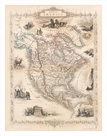
Vintage Map of North America - Central America from Greenland to Panama - c. 1851
J. Rapkin
24 options available$12.98 - $199.98
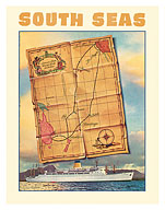
South Seas - Steamships S.S. Mariposa - S.S. Monterey - c. 1950's
Louis Macouillard
24 options available$12.98 - $199.98
A Map of the World from the Best Authorities - The Track of Captain Cook
Vintage Map
24 options available$12.98 - $199.98
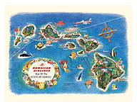
Pictorial Map of the State of Hawaii - Hawaiian Airlines Route Map
Vintage Aviation Poster
24 options available$12.98 - $199.98
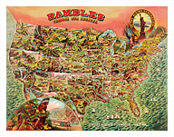
Rambles through our Country - Map of the United States 1890s
Vintage Map
24 options available$12.98 - $199.98
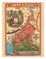
Map of French Cameroun (Cameroons) - A.O.F. Afrique Occidentale Française (French West Africa)
Léon Craste
24 options available$12.98 - $199.98
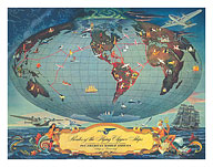
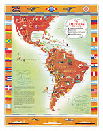
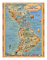
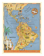
Pictorial Map of North & South America - Flying Clipper Ships Routes - Pan American World Airways
Kenneth Thompson
24 options available$12.98 - $199.98
Global Network Map - Planisphere - World Flight Routes
Lucien Boucher
24 options available$12.98 - $199.98
Map of World - TAI Airlines (Transports Aériens Intercontinenteaux)
F. Lesourt
24 options available$12.98 - $199.98
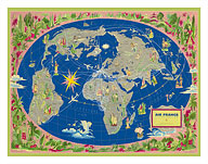
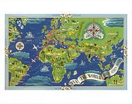
Fly the World - Réseau Aérien Mondial (Global Airline Network) - Fly Routes World Map - Planisphere
Lucien Boucher
24 options available$12.98 - $199.98
Map of the World - Our New Neighbors - Global Air Routes - Western Air Lines
Sally De Long
24 options available$12.98 - $199.98
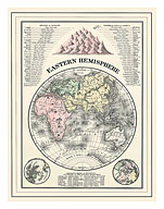
Map of the Eastern Hemisphere - Rivers of Europe, Asia and Africa
William M. Bradley
24 options available$12.98 - $199.98
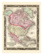
Map of North America - British America - Russian America - Danish America
Wellington Williams
24 options available$12.98 - $199.98
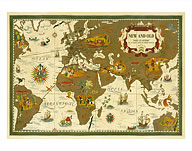
New and Old - Nova Et Vetera (The Old and the New) - World Route Map - Planisphere
Lucien Boucher
24 options available$12.98 - $199.98
Map of Oceanica - Australia, Hawaii, Pacific Islands, Malaysia, Polynesia and Australasia
James H. Young
24 options available$12.98 - $199.98
Honolulu and the Sandwich Islands - Hawaiian Islands - Vintage Honolulu Map
Alexander Samuel MacLeod
24 options available$12.98 - $199.98
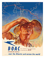
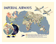
USA to Australia - by the Speedbird Routes - BOAC (British Overseas Airways Corporation)
Harold Foster
24 options available$12.98 - $199.98
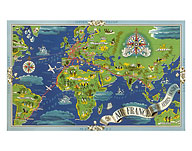
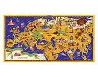
Europe - Orient - Extrême-Orient Flight Routes - Regal Elephant with Howdah (Carriage)
Ray Bret Koch
24 options available$12.98 - $199.98
Around the World Map - Chocolat Menier - French Chocolate Company - Circuit des Capitales (Tour of the Capitals)
J. B. Jannot
24 options available$12.98 - $199.98
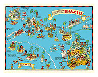
Map of the Territory of Hawaii - American Samoa - Pictorial Map
Ruth Taylor White
24 options available$12.98 - $199.98
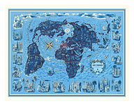
World Map - Global World Flight Route Map - Planisphere
Lucien Boucher
24 options available$12.98 - $199.98
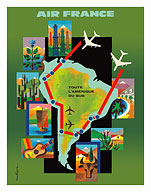
All of South America (Toute L'Amérique Du Sud) - Flight Routes Map
Jacques Nathan-Garamond
24 options available$12.98 - $199.98
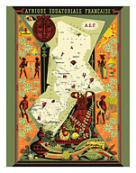
French Equatorial Africa (Afrique Équatoriale Française) Map - Central Africa
Alain Cornic
24 options available$12.98 - $199.98
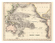
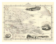
Pacific Ocean Vintage Map - Polinesia, Australia, New Zealand & Hawaii - Dower's General Atlas of the Earth
John Dower
24 options available$12.98 - $199.98
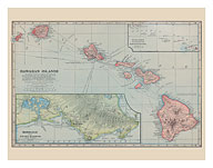
Hawaiian Islands Map - Pearl Harbor, Honolulu
J. Martin Miller
24 options available$12.98 - $199.98
The Island of Maui Hawaii - Pictorial Map c.1962
Ray Lanterman
24 options available$12.98 - $199.98
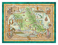
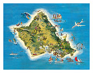
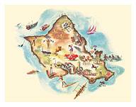
The Island of Oahu Hawaii - Pictorial Map c.1962
Ray Lanterman
24 options available$12.98 - $199.98
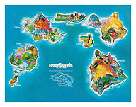
Hawaii Islands Route Map - Hawaiian Air Lines - Vintage Pictorial Map c.1961
Vintage Aviation Poster
24 options available$12.98 - $199.98
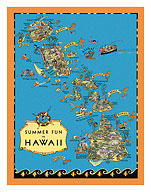
Summer Fun in Hawaii Map - Hawaii Tourist Bureau - Vintage Pictorial Map c.1930's
Ruth Taylor White
24 options available$12.98 - $199.98
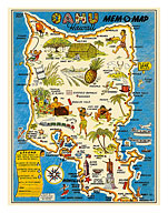
Oahu, Hawaii Mem-O-Map - World War II Military Souvenir Map - Vintage Pictorial Map c.1946
John G. Drury
24 options available$12.98 - $199.98
The Island of Hawaii Map - Vintage Pictorial Map c.1962
Ray Lanterman
24 options available$12.98 - $199.98
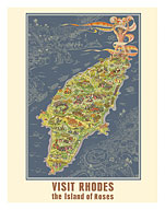
Visit Rhodes Greece - The Island of Roses - Vintage Pictorial Map c.1935
Egon Huber
24 options available$12.98 - $199.98
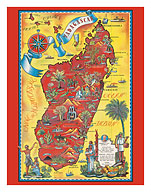
Madagascar - Map - Africa Island - Vintage Pictorial Map c.1952
Maurice Tranchant
24 options available$12.98 - $199.98
Famous Flights and Air Routes of the World - Charles Lindbergh - Pan American Airways - United Air Lines - c. 1937
Vintage Aviation Poster
24 options available$12.98 - $199.98
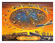
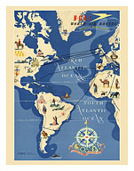
The Progress of Transportation - Pan American World Airlines Air Routes - c. 1946
Vintage Aviation Poster
24 options available$12.98 - $199.98
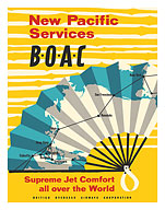
New Pacific Services - BOAC (British Overseas Airways Corporation) - c. 1958
Vintage Aviation Poster
24 options available$12.98 - $199.98
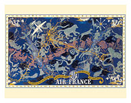
Celestial Route Planisphere - In All The Skies - Zodiac Signs - c. 1938
Lucien Boucher
24 options available$12.98 - $199.98
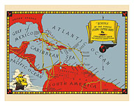
Routes of the Famous Flying Clipper Ships - Caribbean Area Map - Pan American Airways System - c. 1930
Vintage Travel Poster
24 options available$12.98 - $199.98
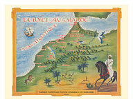
Morocco (Maroc) - National Bank for Trade and Industry BNCI - Africa (Afrique) - Map c. 1930's
Vintage Advertisement Poster
24 options available$12.98 - $199.98
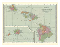
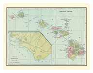
Hawaiian Islands Map - Sandwich Islands - Harbor of Honolulu - c. 1899
Vintage Map
24 options available$12.98 - $199.98
The Routes of the Flying Clipper Ships - Pan American Airways PAA - c. 1935
Kenneth W. Thompson
24 options available$12.98 - $199.98
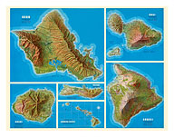
Map of Hawaiian Islands - Oahu, Kauai, Maui, Molokai, Hawaii - Shell Oil Company - c. 1956
Vintage Map
24 options available$12.98 - $199.98
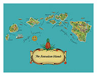
The Hawaiian Islands - Map from The Story of Pineapple - c. 1939
Stephen J. Voorhies
24 options available$12.98 - $199.98
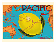
Pacific Brand - Johnston Fruit Co. - Pacific Ocean Map Routes - Citrus - c. 1917
Vintage Advertisement
24 options available$12.98 - $199.98
South Pacific Route Map - Hawaii, Samoa, Fiji, Australia, New Zealand - c. 1935
Ernest Hamlin Baker
24 options available$12.98 - $199.98
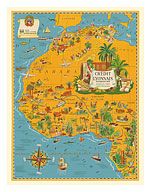
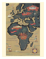
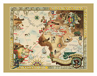
Map of North Africa - French Union - Crédit Lyonnais - c. 1939
Lucien Boucher
24 options available$12.98 - $199.98
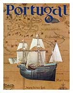
Portugal - Portuguese Caravel Ship - c. 1969
Vintage Travel Poster
24 options available$12.98 - $199.98
Madagascar - Mauritius - Indian Ocean - via East Africa - c. 1950
Renluc
24 options available$12.98 - $199.98
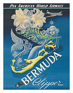
Bermuda by Clipper - Pan American World Airways - Mermaid with Lily Flowers - c. 1947
Boris Artzybasheff
24 options available$12.98 - $199.98
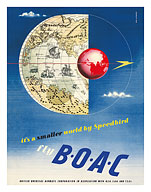
It's a Smaller World by Speedbird - Fly BOAC (British Overseas Airways Corporation) - c. 1945
Beverly Pick
24 options available$12.98 - $199.98
Routes of Easton Oceanic Line - Hawaii, Samoa, Fiji, New Zealand, Australia - c. 1938
Ewart Melbourne Brindle
24 options available$12.98 - $199.98
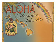
Aloha Hawaiian Islands - Rainbow State - Map of Hawaii - c. 1944
Vintage Postcard
24 options available$12.98 - $199.98
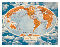
World Route Map - Pan American World Airways - The System of the Flying Clippers - c. 1947
Richard Edes Harrison
24 options available$12.98 - $199.98
North America (L'Amérique Du Nord) - Illustrated Map - c. 1951
Plaquet
24 options available$12.98 - $199.98
The Islands of Hawaii - Pictorial Map - c. 1952
Vintage Pictorial Map
24 options available$12.98 - $199.98
World Route Map - Planisphere - Vickers Viscount - Super Constellation - c. 1956
Vintage Aviation Poster
24 options available$12.98 - $199.98
World Route Map - Africa, Europe, Asia - Sabena Belgian World Airlines - c. 1950
Vintage Aviation Poster
24 options available$12.98 - $199.98
Map of Oahu, Hawaii - Illustrated Map - c. 1953
Vintage Hawaiian Pictorial Map
24 options available$12.98 - $199.98
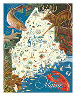
State of Maine Wildlife Map - New England - c. 1950's
J.G. Shelley & Louis Koster
24 options available$12.98 - $199.98
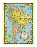
Map of South America - Moore McCormack Lines Pictorial Map - c. 1942
Ernest Dudley Chase
24 options available$12.98 - $199.98
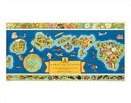
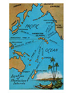
Hawaii Paradise of the Pacific - Turtles (Honu) Hawaiian Islands Map
Wade Koniakowsky
24 options available$12.98 - $199.98
Hawaiian Surfer - Hawaii Paradise of the Pacific
Wade Koniakowsky
24 options available$12.98 - $199.98
Hawaiian Wahine - Hawaiian Islands - Hawaii Paradise of the Pacific
Wade Koniakowsky
24 options available$12.98 - $199.98
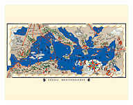
Mediterranean Network (Réseau Méditerranéen) - Flight Route Map - c. 1930
Lucien Boucher
24 options available$12.98 - $199.98
Map of Yosemite Valley - National Park - c. 1955
Milton Cavagnaro & Leo Holub
24 options available$12.98 - $199.98
Map of Polynesia - Islands In The Pacific Ocean - c. 1851
J. Rapkin
24 options available$12.98 - $199.98
Map of London England Theatreland District - c. 1915
MacDonald (Max) Gill
24 options available$12.98 - $199.98
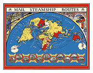
United Kingdom - International Postal Mail Steamship Routes - World Map - c. 1937
Max Gill
24 options available$12.98 - $199.98
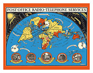
Post Office - International Radio Telephone Services - World Map - c. 1935
MacDonald (Max) Gill
24 options available$12.98 - $199.98
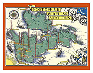
Post Office Wireless Stations - Great Britain - England - British Isles Map - c. 1938
MacDonald (Max) Gill
24 options available$12.98 - $199.98
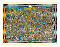
The Famous Wonderground Map of London Town, England - Underground Railways - c. 1915
MacDonald (Max) Gill
24 options available$12.98 - $199.98
Bandeirante Fleet Air Route World Map - Panair Do Brasil - Pan American - c. 1947
Eymonnet
24 options available$12.98 - $199.98
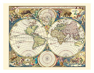
Novissima Totius Terrarum Orbis Tabula - Double Hemisphere World Map - c. 1658
Nicolaes Visscher
24 options available$12.98 - $199.98
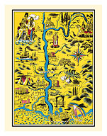
St. Maries de la Mer (Saintes-Maries-de-la-Mer) - Southern France - The Rhône River - c. 1938
Lucien Boucher
24 options available$12.98 - $199.98
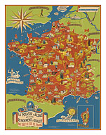
Potash Mining of Alsace, France (La Potasse D'Alsace) - Map of France - c. 1950
Lucien Boucher
24 options available$12.98 - $199.98
Centenary of International Red Cross (Croix Rouge) - French - c. 1963
Lucien Boucher
24 options available$12.98 - $199.98
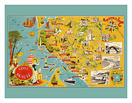
Côte de Beauté, France - French South Western Coastline - c. 1940
Lucien Boucher
24 options available$12.98 - $199.98
Western Hemisphere Air Routes - BOAC British Overseas Airways Corporation - c. 1949
E. O. Seymour
24 options available$12.98 - $199.98
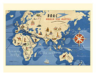
Eastern Hemisphere Air Routes - BOAC British Overseas Airways Corporation - c. 1949
E. O. Seymour
24 options available$12.98 - $199.98
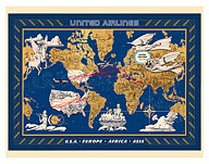
World Air Routes - USA, Europe, Africa, Asia - c. 1949
Lucien Boucher
24 options available$12.98 - $199.98
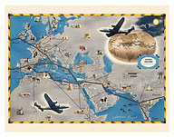
Europe, Africa, Asia Air Routes Map - c. 1948
Vintage Airline Travel Poster
24 options available$12.98 - $199.98
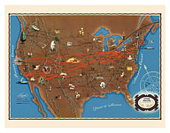
United States Air Routes Map - c. 1948
Vintage Airline Travel Poster
24 options available$12.98 - $199.98
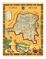
Belgian Congo (Congo Belge) - Africa - Pictorial Map - c. 1949
Frans Laboulais
24 options available$12.98 - $199.98
Largest Network in the World (Le Plus Grand Réseau du Monde) - Air Routes - c. 1950's
Lucien Boucher
24 options available$12.98 - $199.98
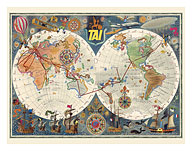
World Air Routes - TAI Airline - Transport Aeriens Intercontinentaux - c. 1960
Luc-Marie Bayle
24 options available$12.98 - $199.98
Double Hemisphere Route Map - TAI Airline - c. 1948
Luc-Marie Bayle
24 options available$12.98 - $199.98
Crédit Lyonnais Bank - Locations in France - c. 1960
Lucien Boucher
24 options available$12.98 - $199.98
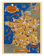
Sartel Spinning Mills (Filatures du Sartel) throughout France - c. 1955
Lucien Boucher
24 options available$12.98 - $199.98
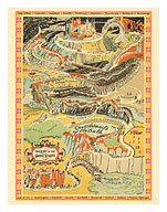
The Quest of the Goodly Knights - Path to The Castle of Knighthood - c. 1927
Ray Wardell
24 options available$12.98 - $199.98
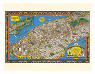
Wondrous Isle of Manhattan, New York - Pictorial Map - c. 1926
Charles Vernon Farrow
24 options available$12.98 - $199.98
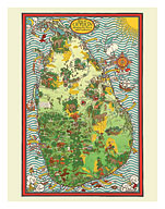
Ceylon (Sri Lanka) Map - Tea Propaganda Board - c. 1933
MacDonald (Max) Gill
24 options available$12.98 - $199.98
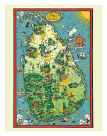
Sri Lanka Pictorial Map - Ceylon Tea Propaganda Board - c. 1933
MacDonald (Max) Gill
24 options available$12.98 - $199.98
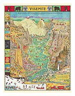
Yosemite Valley - National Park - Pictorial Map - c. 1931
Jo Mora
24 options available$12.98 - $199.98
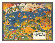
The Guide to Toyland - Children's Fairy Tales - c. 1940
Vintage Kids Pictorial Map
24 options available$12.98 - $199.98
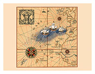
Christopher Colombus 1436-1506 - Trans-Atlantic Map - c. 1927
Lucien Boucher
24 options available$12.98 - $199.98
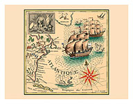
Marquis de Lafayette 1757-1834 - Trans-Atlantic Map
Lucien Boucher
24 options available$12.98 - $199.98
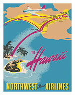
To Hawaii - Northwest Orient Airlines - c. 1930's
Vintage Aviation Poster
24 options available$12.98 - $199.98
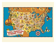
Walt Disney’s Mickey and Donald’s Race to Treasure Island - U.S. Map - c. 1939
Vintage Children's Map
24 options available$12.98 - $199.98
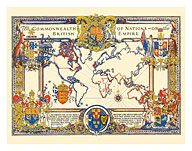
The Commonwealth of Nations (The British Empire) - World Map - c. 1937
A. C. Webb
24 options available$12.98 - $199.98
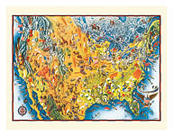
The United States of America - Pictorial Map - c. 1943
Miguel Covarrubias
24 options available$12.98 - $199.98
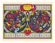
Celestial Star Map - Astrology Constellations - c. 1930's
Elizabeth Shurtleff
24 options available$12.98 - $199.98
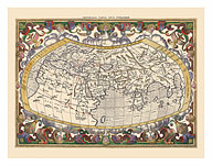
Map of the Ancient World - Based on Claudius Ptolemy’s Writing - c. 1578
Gerard Mercator
24 options available$12.98 - $199.98
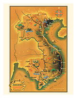
French Indochina Map (Indochine Française) - Cambodia, Laos and Vietnam - c. 1930's
Jean Pierre
24 options available$12.98 - $199.98
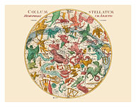
Star Constellation Chart - Cœlum Stellatum - c. 1801
Johann Elert Bode
24 options available$12.98 - $199.98
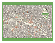
Paris, France - Aerial View of The City Center - 3D Drawing Map - c. 1959
Vintage City Map
24 options available$12.98 - $199.98
Map of California as an Island - Baja California Peninsula - c. 1650
Johannes Vingboons
24 options available$12.98 - $199.98
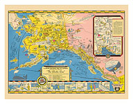
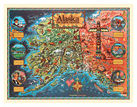
A Good-natured Map of Alaska - The Alaska Line - Alaska Steamship Company - c. 1934
Vintage Travel Poster
24 options available$12.98 - $199.98
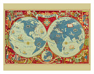
The World’s Largest Network (Le Plus Grand Réseau du Monde) - France
Lucien Boucher
24 options available$12.98 - $199.98
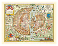
Paris, France - Map of the City - c. 1578
Vintage Pictorial Map
24 options available$12.98 - $199.98
